Blocked Driveway & Illegal Parking at 37.771N 122.425W
Submitted Tue May 24, 2022
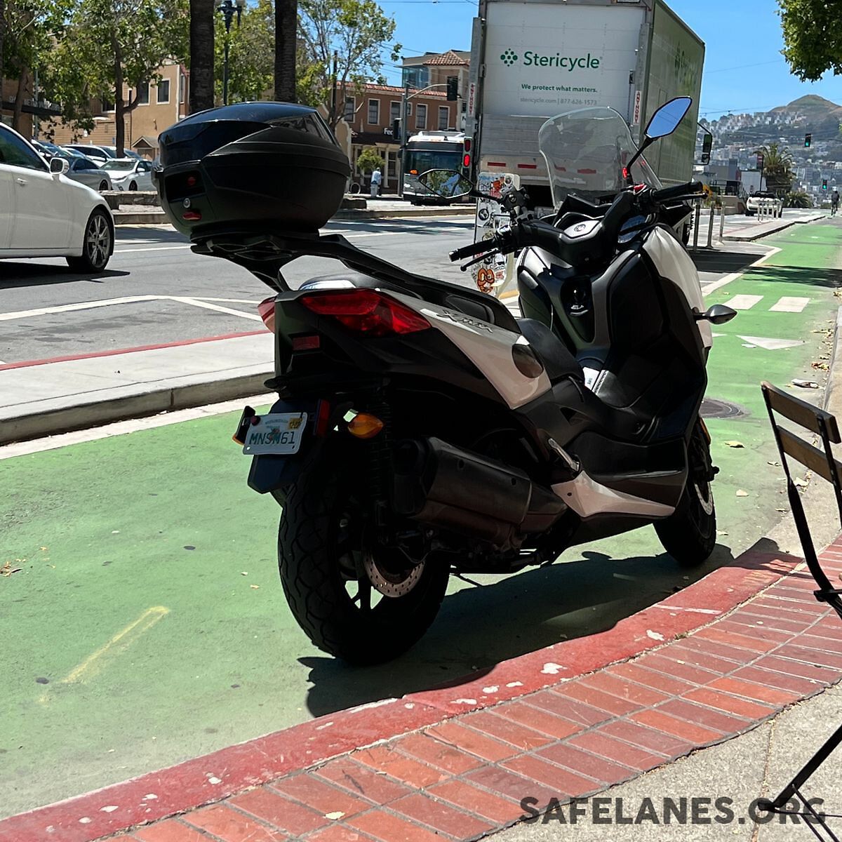
License Plate: Mnsm61
Nature of Request: Blocking Bike Lane (Info Only)
address: 37.771N 122.425W
coordinates x,y: 6005194.975147735, 2108783.9938487024
coordinates lat,lng: 37.77061279999999, -122.425387
| Timestamp | Description |
|---|---|
| Tue May 24, 2022 07:13pm |
Submitted via Open311 |